c. 1300
The beyliks around 1300
The Ilkhan Ghazan has Sultan Kayqubad III executed in 1302 and restores Mesud II in 1303. Mesud dies around 1308, the last Seljuk sultan of Rûm. Ilkhanid governors still command in central Anatolia, while the beys of the western marches rule their lands as independent princes and strike coins in their own names.
Germiyan at Kütahya is the strongest of the beyliks. Along the Aegean, from north to south, Karesi at Balıkesir, Saruhan, Aydın and Menteşe at Milas take the Byzantine coastlands in these years. Inland lie Hamid at Eğirdir with its branch Teke at Antalya, Eşref at Beyşehir and Karaman at Larende. Candar holds the hills of Paphlagonia and takes Kastamonu from the Chobanids in 1309.
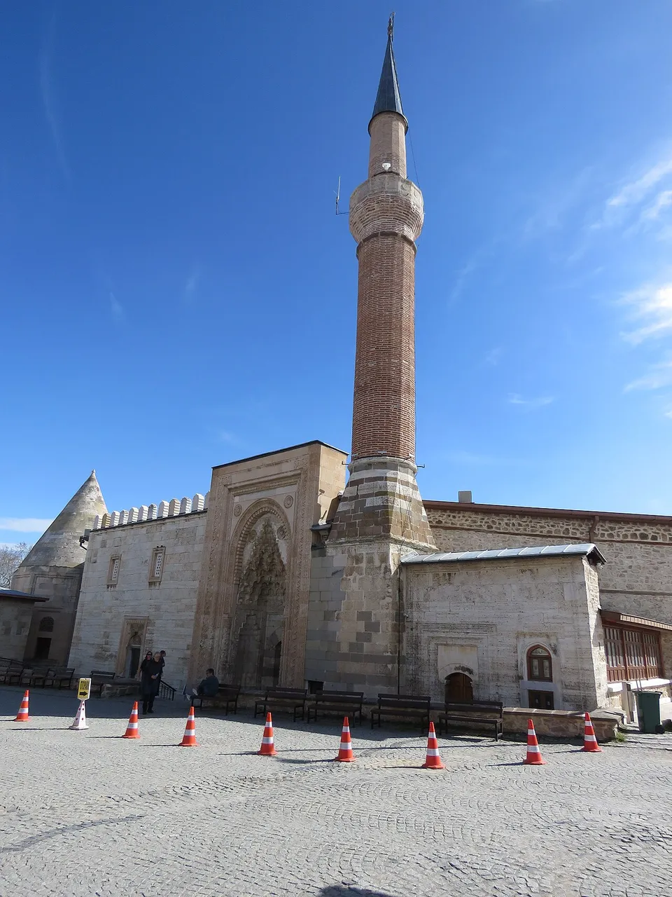 The Eşrefoğlu Mosque at Beyşehir, built in 1296–1299 by Süleyman Bey of the Eşref beylikWikimedia Commons, Calistemon, CC BY-SA 4.0 (Eşrefoğlu Camii, Beyşehir, April 2024 02.jpg)
Osman’s land runs from Söğüt and Eskişehir to Bilecik, İnegöl and Yenişehir, at the edge of the plain of Bithynia. It is one of the smaller beyliks, and the one that borders the Byzantine cities of Bithynia. Ottoman tradition takes 1299 as the founding year of the state.
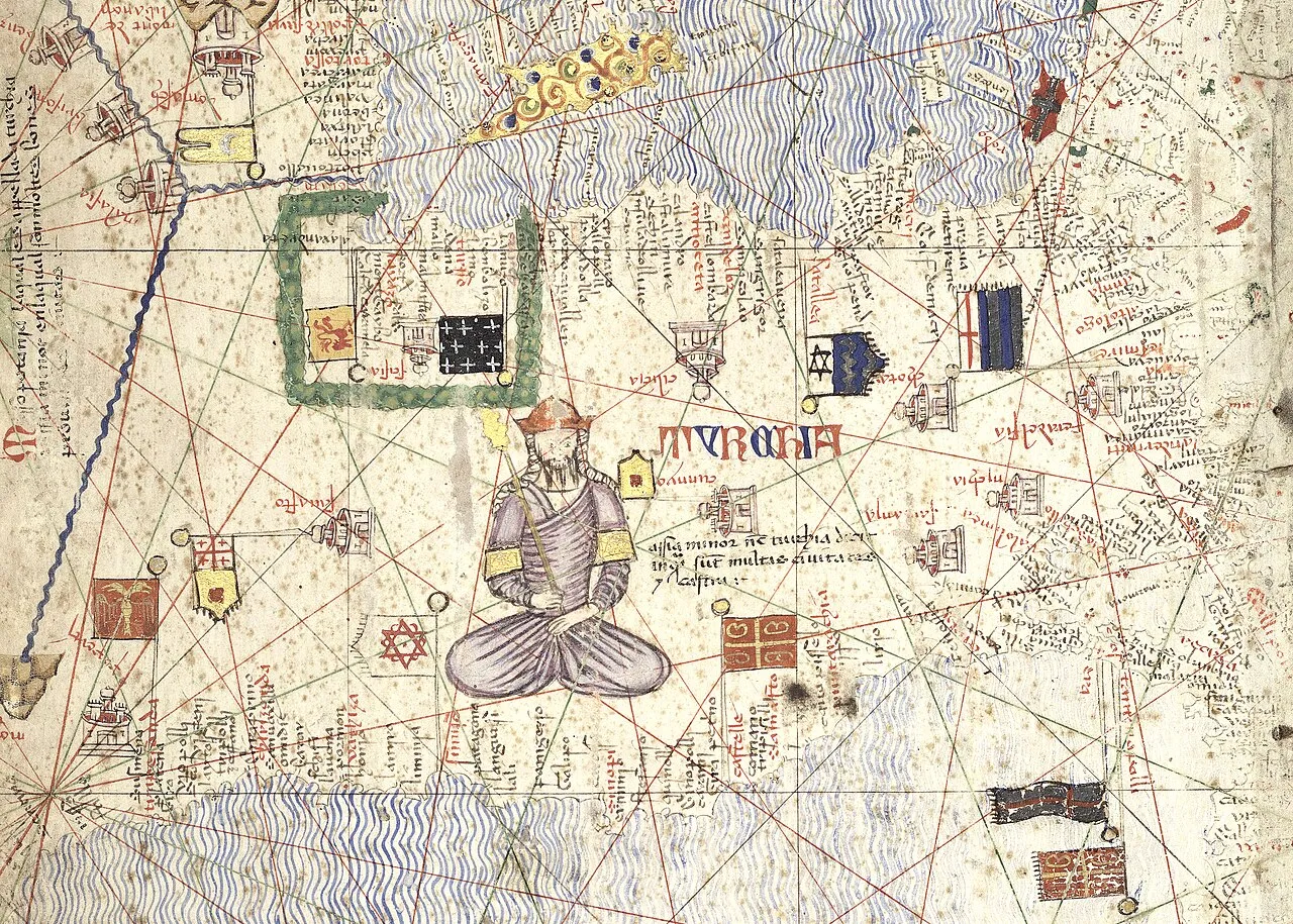 The beyliks of Anatolia on the Catalan Atlas of 1375Wikimedia Commons, Cresques Abraham, Public domain (Anatolian Beyliks in the Catalan Atlas (1375).jpg)
Sources
- Claude Cahen, Pre-Ottoman Turkey (1968).
- Elizabeth A. Zachariadou (ed.), The Ottoman Emirate (1300–1389) (1993).
- Feridun M. Emecen, İlk Osmanlılar ve Batı Anadolu Beylikler Dünyası (2001).
Prev: Bilecik, Yarhisar and İnegöl, 1299Next: Bapheus, 1302